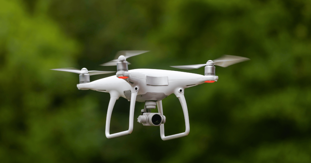
Drones are revolutionising the field of property surveys, and for good reason. These unmanned aerial vehicles are capable of capturing extremely detailed high-resolution aerial imagery, offering an unparalleled level of accuracy and comprehensiveness for even the most demanding surveys.
Using drones is also a much faster and more efficient than traditional surveying methods. With a drone, we are able to cover a large area in a short amount of time and capture data that would be difficult or impossible to obtain with traditional methods.
Drones are also a safer and more cost-effective alternative to manned aircraft for aerial surveys. With a drone, we can capture the data we need without putting anyone in harm’s way or incurring the high costs of manned aircraft.
Drones also offer significant flexibility, allowing survey teams to adapt to unexpected challenges with ease. They can be quickly deployed, and their ability to maneuver tight spaces and challenging environments means that they can capture data and information that might be impossible with traditional surveying methods.
SURVEYS &
PRICING
Please contact our team directly to discuss your requirements for an accurate price.